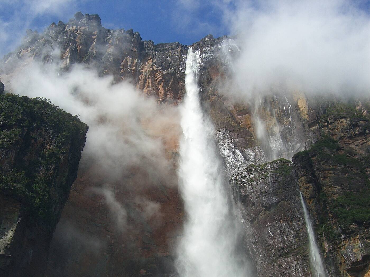
Hiking Mount Roraima: 6 days on a 2-billion-year-old tepui
A tepui about 2 billion years old and 2,810 meters high, with a 31 km² summit. The six-day route, permits, timing and what to expect, with sources.
Key facts about Mount Roraima
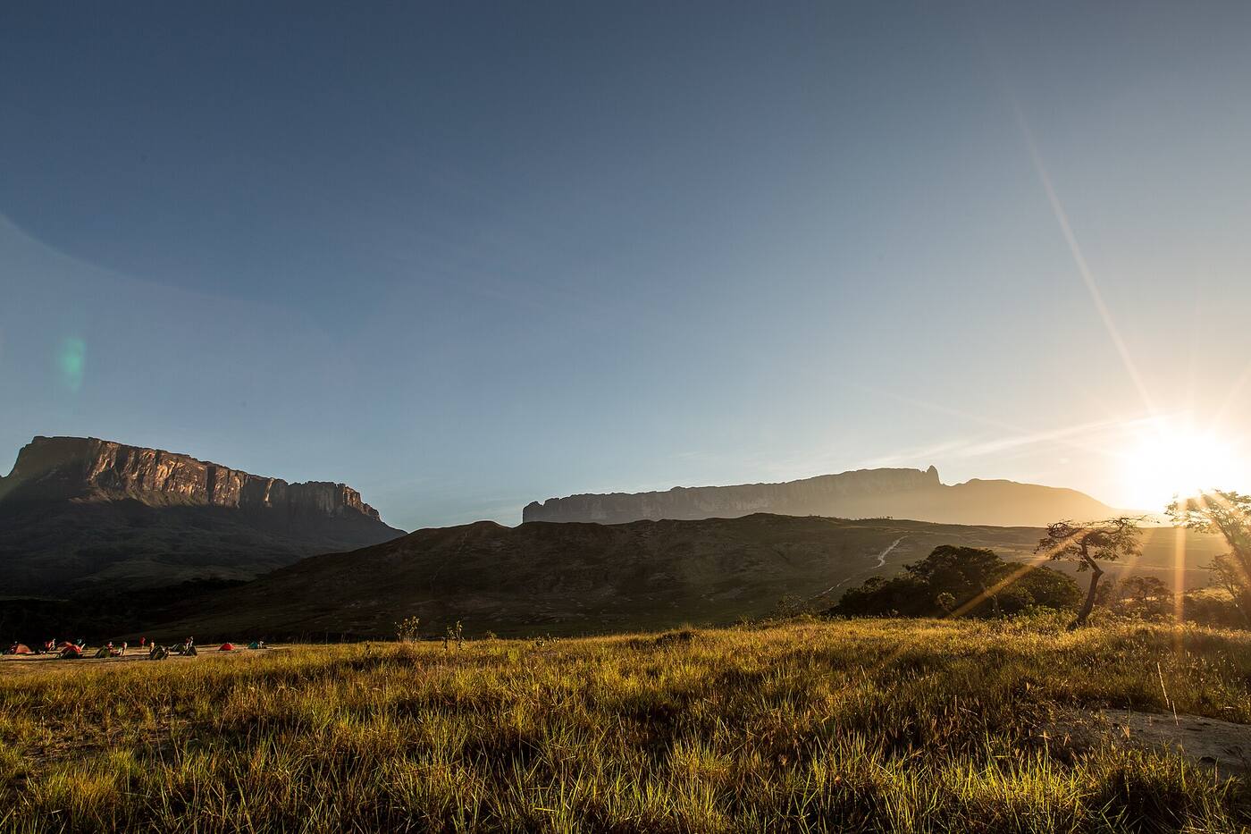
Roraima is a 2,810-meter sandstone tabletop mountain in the Pacaraima range, in the southeast of Canaima National Park. You climb it from the Venezuelan side, with a guide and an Inparques permit, and the classic trek takes about six days. The Mount Roraima page and the sources at the end back up the facts in this guide.
| Detail | Value |
|---|---|
| Height | 2,810 m |
| Summit | About 31 km²: Venezuela 85%, Guyana 10%, Brazil 5% |
| Cliffs | Up to 400 m high |
| Geological age | About 2 billion years (Precambrian) |
| Starting point | Paraitepuy, a Pemón community about 50 km away on a dirt road |
| Length | 6 days (5 if you reach the base in one day) |
| Guide and permit | Guide required; Inparques permit, arranged by an authorized agency |
| First documented ascent | Everard im Thurn, 1884 |
Why it's so striking
Roraima is part of the Guiana Shield, one of the oldest geological formations on Earth. Its sheer walls make it almost impossible to reach the top, except by a natural ramp in the rock, La Rampa, the only open non-technical route to the summit. Rain has sculpted the surface, and isolation has produced plants and animals of its own, such as the tiny black frog Oreophrynella quelchii.
Reports from 19th-century expeditions inspired Arthur Conan Doyle to write The Lost World in 1912. According to Wikipedia, the Pemón called the mountain "the mother of all waters," because waterfalls pour off its summit into rivers that flow to the Orinoco, the Essequibo and the Amazon.
How to get there
- Santa Elena de Uairén. This is the base for services and agencies. It's about 1,400 km from Caracas on Troncal 10, a paved highway. There are overnight buses from Ciudad Bolívar and Puerto Ordaz, and flights are infrequent. See the Santa Elena de Uairén page; the town sits at about 900 m above sea level and about 20 km from the border with Brazil.
- Troncal 10 through the Gran Sabana. Before you reach the region, you climb La Escalera, a stretch with lots of curves and frequent fog.
- Dirt road to Paraitepuy. It leaves the paved highway near San Francisco de Yuruaní and is about 50 km long. You'll need a four-wheel-drive vehicle.
- Registration. Paraitepuy has the Inparques office: that's where you register and where guides and porters are hired.
The classic 6-day itinerary
This is a common plan described by the Mapitt page and Wikipedia. Your agency sets the exact order and the campsites.
| Day | Plan |
|---|---|
| 1 | Paraitepuy to the first camp: Tek, about 4 hours' walk, or Kukenán, an hour farther on |
| 2 | On to base camp, at the foot of the climb |
| 3 | Up La Rampa, past the Paso de las Lágrimas, and on to the summit |
| 4 | A full day on top: crystal-clear pools with quartz bottoms (the "Jacuzzis," about 5 to 10 °C), El Foso, the Catedral de Piedra and the Triple Point, where Venezuela, Brazil and Guyana meet |
| 5 and 6 | Descent, back to Paraitepuy and return to Santa Elena |
Two warnings from Wikipedia: it's very easy to get lost on the summit, because the trails fade and clouds hide the landmarks; and sleeping at Kukenán camp lets you cross the Tek and Kukenán rivers that same day, but there are more insects.
When to go
- Rain. The English Wikipedia page on Roraima gives an average annual temperature of 20 to 22 °C and more than 1,500 mm of rain a year, with the rainy season from April to November. The Gran Sabana page talks about some 10 months of rain, with a relatively dry spell between January and March.
- Dry season. The Roraima page calls it the best time to climb, although with the strong sun and the heat, the walk to the mountain can get tough.
- Rivers. The Tek and Kukenán rivers can rise late in the day or at night. Your guide decides when to cross.
- Cold. We didn't find a public source with temperature records for the summit. The Jacuzzi pools are 5 to 10 °C, so dress warmly for the night up top.
Fitness
The Mapitt page doesn't set a fitness level, and no source backs a specific training plan. What is clear: it's several days of hiking with a backpack, the Paso de las Lágrimas is a demanding stretch and the ground is wet. Talk to your agency about the level they expect before you book.
Costs
There's no dated public rate for the Inparques permit, guides, porters, 4x4 transportation or the full package. Ask the agency for a written quote that spells out what's included, and ask separately about the permit and the transfer from Santa Elena.
What to bring
- Water and shoes with good grip. That's what the Mapitt page recommends.
- Warm clothes and rain gear: the water in the pools is around 5 to 10 °C and the summit is often in the clouds.
- Sunscreen for the exposed stretches.
- Camping gear: your agency will tell you what the package includes and what you need to bring. Check with them what temperature rating your sleeping bag should have.
Places on this route
Besides Mount Roraima and Santa Elena de Uairén, the Gran Sabana is full of waterfalls and viewpoints you can reach by road. If you're interested in the tepuis and waterfalls on the other side of the park, read our Salto Ángel (Angel Falls) guide.
See the Gran Sabana and Canaima guide: how to get there and what to see to plan your trip.
Places in this guide
Sources
- Mapitt: Mount Roraima page, accessed November 6, 2026
- Mapitt: Santa Elena de Uairén page, accessed November 6, 2026
- Wikipedia (Spanish): Monte Roraima, accessed November 6, 2026
- Wikipedia: Mount Roraima, accessed November 6, 2026
- Wikipedia: Gran Sabana, accessed November 6, 2026